Central Province
One of three districts in the province, alongside Kandy and Nuwara Eliya.
 K1 ORIGINS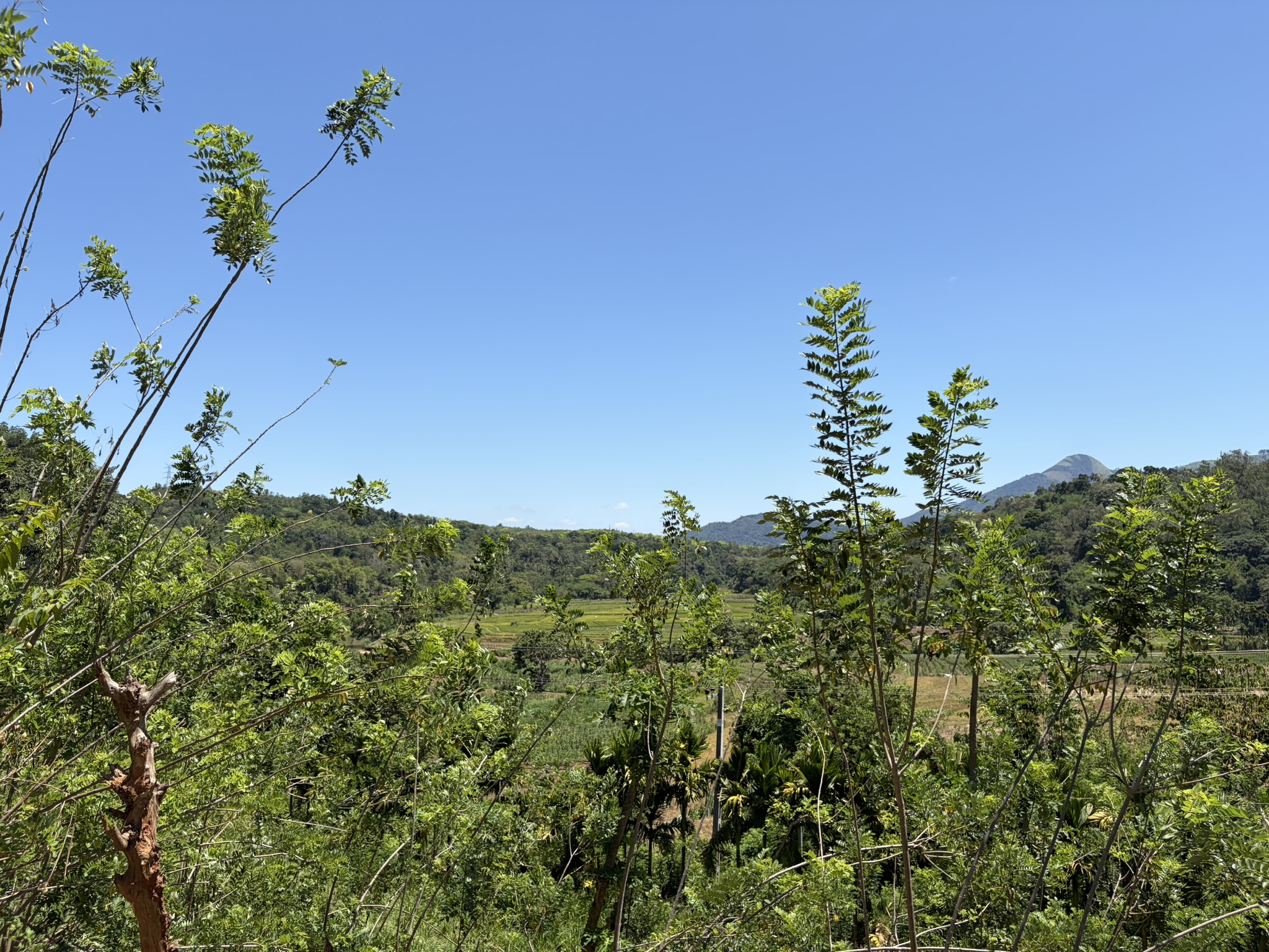
Sri Lanka · Central Province
A varied agricultural district where central hills, changing rainfall, soils and generations of field knowledge shape a broad range of crops.
Understanding the place
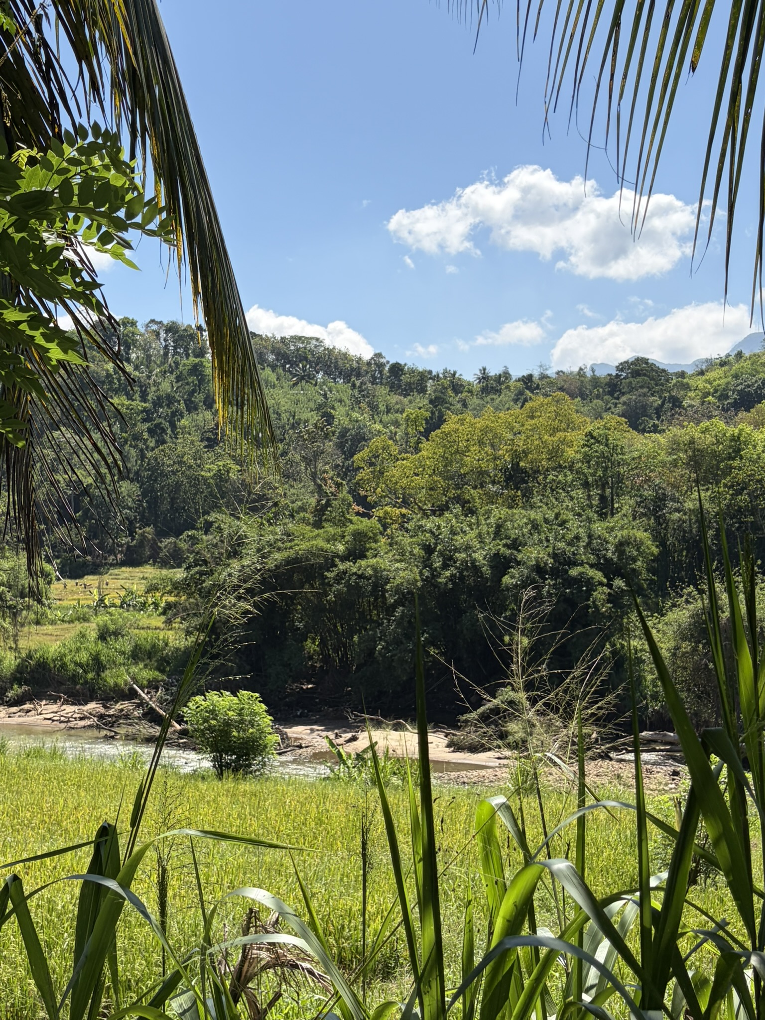
Matale is the northernmost district of Sri Lanka's Central Province. Conditions change substantially across the district, from rugged and hilly areas in the south toward flatter and generally drier areas further north.
Origin therefore means more than a district name. Useful provenance connects a crop to landscape, people, practice, harvest and evidence—without publishing private estate access details.
One of three districts in the province, alongside Kandy and Nuwara Eliya.
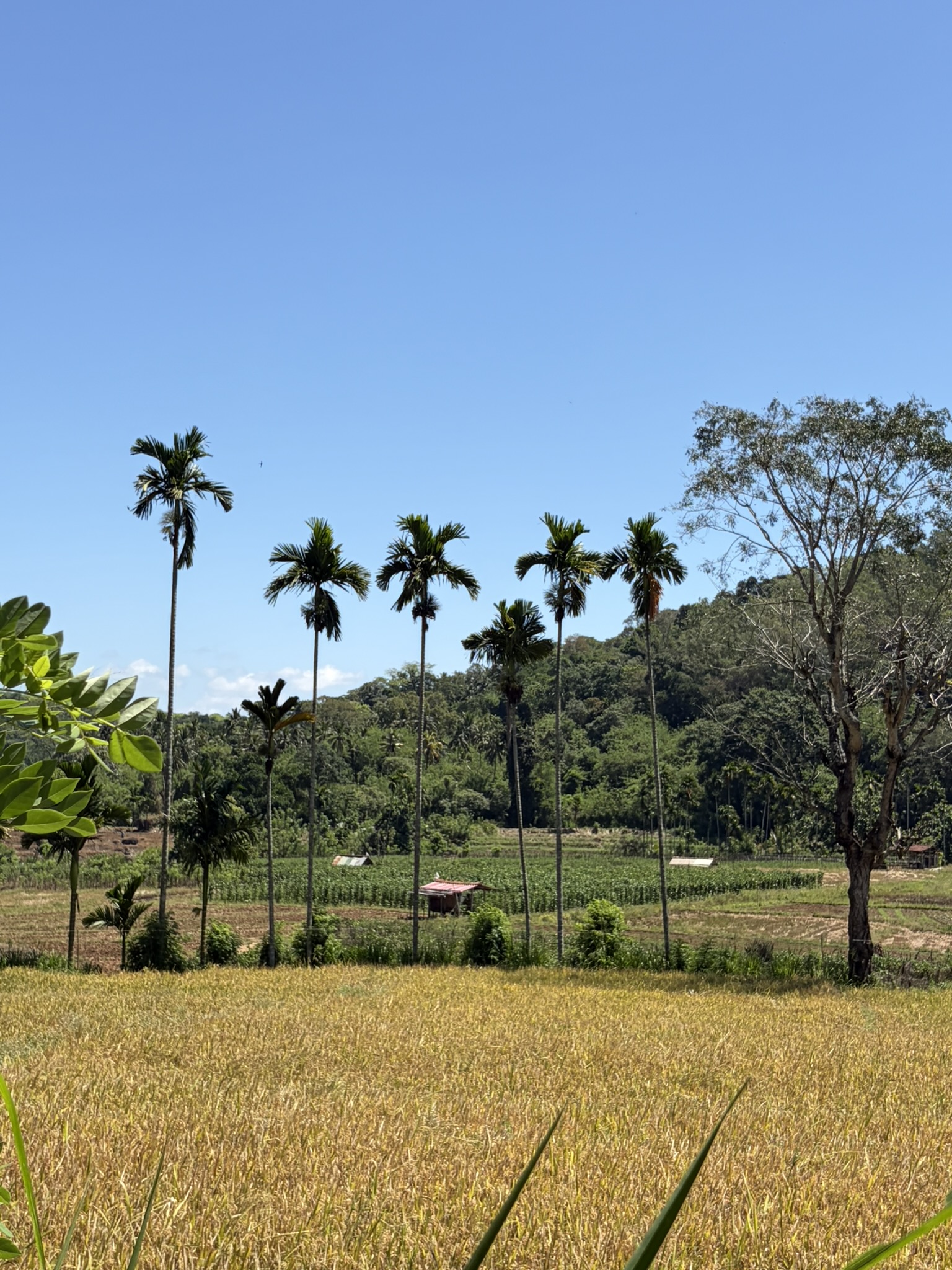
Terrain, rainfall and agro-ecological conditions vary across Matale.
Paddy, vegetables, fruits, coconut and export crops all contribute to the district.
Official records include pepper, cloves, coffee, cardamom, cinnamon and nutmeg.
Your AI guide to K1 Origins
Welcome to K1. Looking for a coffee to enjoy at home, a little lavender, or the story behind our origins? I’m here to help you explore.
Ask about our coffee, lavender or the stories behind K1.
Your microphone stays off until you start. Up to 30 seconds per question.